Monday, June 28, 2010 (Yellowstone Canyon and Tower areas)
High Points: The moose count is now up to 38 still at 6! Seeing the Lower Falls
Low Points: The 328 stairs that lead back up from the Lower Falls observation point along the Uncle Tom Richardson Trail. Also, it looks like the refrigerator just will not run on LP until we get it serviced. Fine for when we have electric, but now we’ll need to move to coolers whenever we want a more rustic campsite.
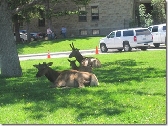
Wildlife Update: A whole bunch of moose elk just hanging out in Mammoth. More than likely, our count is off ‘cause some were still there on our way back; we probably counted them twice.
Moose Elk relaxing on the lawn near the Mammoth Visitor’s Center
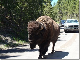
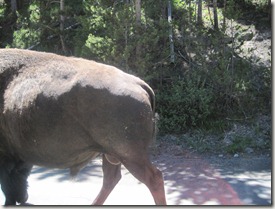
While leaving one of our hikes today, a couple of bison wandered within a foot of our car. I had the window down to take a picture. I got the first shot. Julia, in the backseat, also had her window down, but she froze when the animal got close to her. She regained her wits in time to catch the second picture – the bison’s backside walking off.
Bison (taken by Christine in the front seat)
Bison (taken by Julia in the back seat)
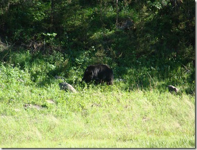
Toward evening, we were just approaching the Mammoth area when we spotted a cluster of photographers. They had better zoom on their cameras, so their picture of this black bear is probably more impressive than ours.
Black Bear (he’s there somewhere!)
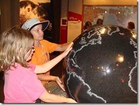
Waterfalls & Canyons: Mike was working today, so he stayed behind in the camper and kept the dog company. The girls and I packed up, grabbed a to-go sandwich from the Food Farm, and drove toward the Canyon area of the park. Our plan was to make this a shorter day than usual but still see some waterfalls and canyons. Canyon Junction has a great visitor’s center focused on the supervolcano nature of the park, so the girls walked around in there for a while before moving to the trails. The ranger at the desk recommended two hikes to the Lower Falls.
Checking out the supervolcano map
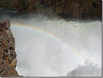
At the first turnout, everybody grabbed hats, water, cameras, sunglasses, and binoculars. They were ready to go. We headed down what we believed to be a strenuous trail (based on the ranger’s advice). The trail ended about 50 feet down the path at an overlook for the Upper Falls – a small waterfall not too far off the road. Apparently, I had the wrong trailhead. Oops. The kids labeled this one the “Granny Trail” and we went back to the car to try the next road. On the drive, we decided the rainbow made the stop worthwhile even if it wasn’t our intended destination.
A rainbow accents the Upper Falls
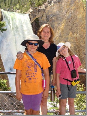
The next road took us where we wanted to go: a trail named for “Uncle Tom Richardson” who designed the steps and used to lead tours of people down to the falls. The walk down was easy . . . it is the more than 300 steps almost straight back up that hurt. It didn’t actually take you all the way to the base of the falls, but the view was impressive. A tour walking by said that the falls are just 60 feet shy of being twice the height of Niagara. I found that hard to believe ‘cause they didn’t look that tall, but I think the height is hard to measure on sight because the bottom half is difficult to see.
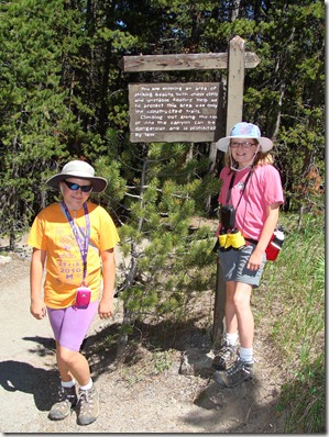
My awesome little hikers ready to hit the trail!
Lower Falls viewpoint
The video was taken about halfway down. You get a good look at the Falls, a rainbow, and the many, many stairs we still needed to walk down (and up).
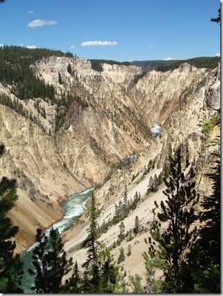
On the way back up the trail, we took a side path that gave you a nice look at what is called the “Grand Canyon of Yellowstone.”
Canyon view from along the Lower Falls Trail
The stairs made us feel like we had put in a good hike, so we chose to drive instead of hike the mile down the path to Artist’s Point – the place where most of the postcard-type pictures are taken of the falls. We sat here for a while ‘cause the view was fantastic.
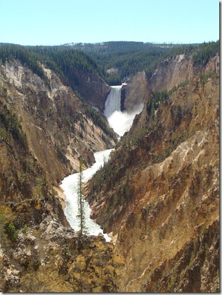 The view of Lower Falls from Artist Point
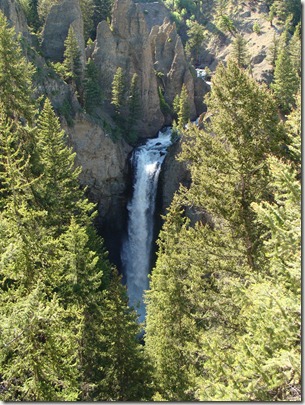
We spent more time than we planned walking those simple trails, so we didn’t make the planned second difficult walk we started the day thinking we’d finish (another walk down to the falls). Instead, we drove back to Mammoth by way of Roosevelt/Tower so we could see what was up there. Tower Falls was not as grand as the Lower Falls, but it was still very pretty and a quick trip off the main road.
Tower Falls
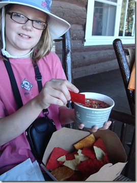
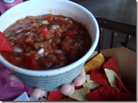
Salsa Test! Our final stop for the day was the Roosevelt Lodge, once built to commemorate the visits of a former president and now a restaurant and set of overnight cabins. We noticed chips and salsa on the menu and just had to stay for a minute. We got them to go and ate out on the big front porch where you can relax in old wooden rocking chairs and watch the trail rides come out of the mountains for the day. The chips were dusted with chili powder, so that definitely enhanced the taste. The salsa itself was fresh and loaded with peppers and onions. The girls loved it: Julia gave it a 5 and Elizabeth gave it a 4 (out of 5). I agree it was good, but it was VERY mild without a lot of spice. The girls loved it ‘cause they could “taste the vegetables.” A good snack before heading home for another late dinner.
Chips & Salsa: Roosevelt Lodge
Final Note: I was most happy that I found a great place in Gardiner to exercise the dog today. Just outside the gates to the national park (just about half a mile from our campsite) is the K-12 town school. There is a nice loop a bike (and dog) can follow through the parking lot, around the road alongside the track, between the track and the city park, and back through the parking lot. There were several other families out there with their dogs, so I ran Buster around half a dozen times and let him really open up in the straight-aways. While we biked, I could see a mother and baby elk walking along the hillside next to the road.

