Going East: ROAM July 29–July 31 (Cascade Locks, OR, to Lowell, ID)
Fair warning: We’re having a difficult time getting any actual photos of riders while on route. Pulling the trailer makes it dangerous to pull off on some of these roads where there is little or no shoulder. Honestly, what the girls and I do all day isn’t very exciting. We break camp, meet Mike at the lunch stop, and then move on to the evening camp. We’re currently carrying some ROAM gear in the truck, but it’s back up stuff for the back ups, so it won’t be needed during the day. Mike is carrying the FLIP camera on his bike, and he’s getting some video he hopes to upload soon. When we leave Missoula, we’re also going to leave him Julia’s camera so he can take some pics of the velos while they ride. Until then, here’s a quick summary of the days. You can also check out the main ROAM event page. Some of the other riders are keeping blogs that link from here: http://web.mac.com/josef.janning/Roll_over_America/Blogs.html
July 29: Cascade Locks, OR, to Hat Rock State Park (Umatilla, OR)
Distance = 139 miles
Stops = Rufus (OR) & Arlington (OR)
The riders followed I-84 again for much of today. They moved out of the mountains and trees surrounding Mt. Hood and entered more rolling territory. There was an especially difficult climb just before the lunch stop in Arlington, OR. Riders stopped for the night several miles east of Umatilla at Hat Rock Campground just across the road from Hat Rock State Park.
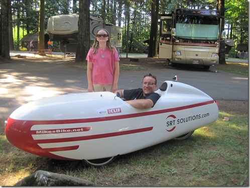
Morning: Julia borrows Mike’s sunglasses as we pack him up and send him off on his first full day of riding.
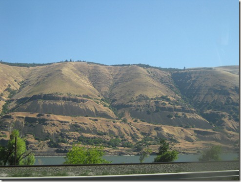
Today’s ride continues to follow the Columbia River, but the landscape changes from green to brown.
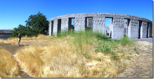
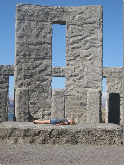
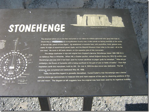
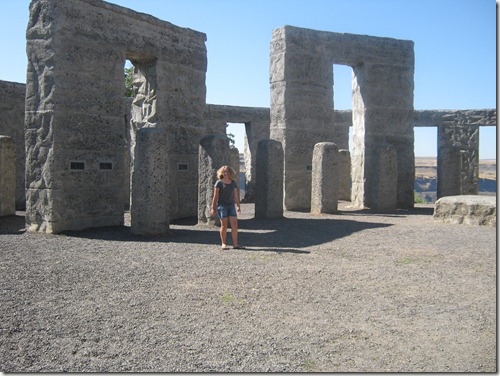
We planned to meet Mike at the lunch stop in Arlington. We thought we’d pass him on the route, but highway construction meant there were several places where riders had to get off and take detours for several miles and even one section where the construction workers had made a small path through the work for riders to pass. He was off the highway in the morning when we passed, so we explored the area instead. We had heard a town called Mary Hill had a Stonehenge replica, so we decided that might be worth seeing. It is actually a WWI Memorial for local soldiers, but its size and detail make it a strange site on the side of a hill on the Washington side of the Columbia River.
Julia at the Stonehenge WWI Memorial
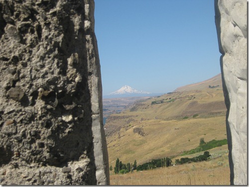
Peeking through the rocks, you can see Mt. Hood in the west.
The Stonehenge story
For a little roadside stop, this is pretty cool
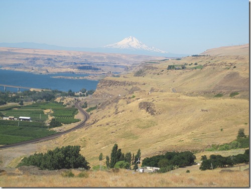
Another view looking west
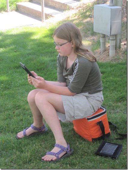
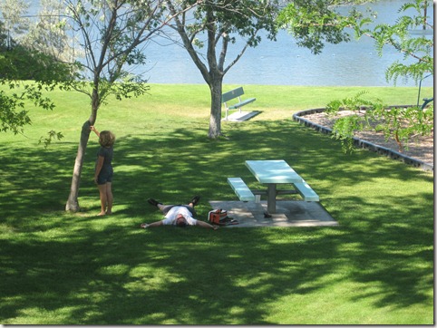
We reached Arlington ahead of the riders and looked around town. There was a little grocery store, a diner, and a gas station. There was a pizza place, too, but the locals said the owner only opened when he felt like it . . . could be 10 am, could be 4 pm. The bike SAG vehicles waited off the entrance ramp, so I stayed there for a while while the girls went down the street to the park. It was hot, and after a couple of hours they got cranky. We waited 4 hours for Mike and a majority of the riders to reach their “lunch stop.” This is when the girls decided this whole bike tour thing wasn’t going to be super exciting. They were bored, it was hot, and the Kindle died. After feeding Mike some lunch, dumping water on his head, and getting him moving again, we moved on to camp.
Julia and the Kindle’s final hours (how will she survive the ride home?!).
Mike finally makes it to the lunch stop and collapses (I love Elizabeth’s complete disinterest).
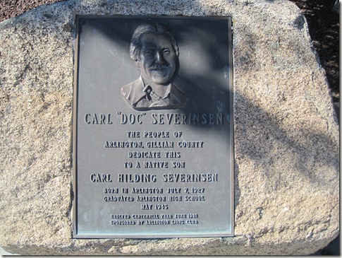
A guy walking his dog told us Arlington is best known as the hometown of Johnny Carson’s Doc Severinsen. I sent the girls on a hunt for the plaque, but they never found it. We finally saw it while we were driving out of town.
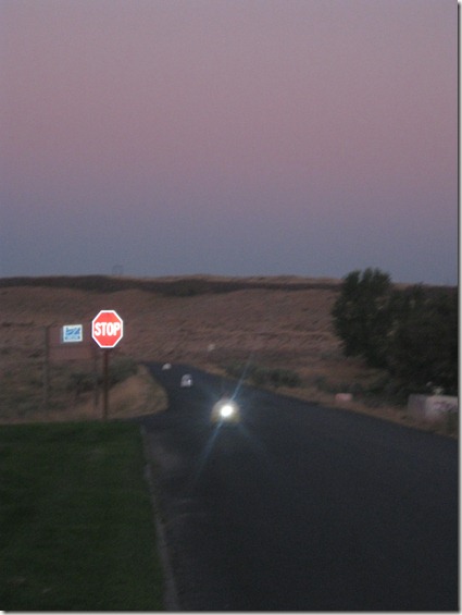
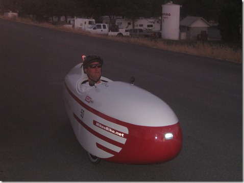
Hat Rock Road, just after 8 pm. We could see Mike and two other riders coming down the road. The bikes are very quiet, so it’s a little eerie after dark.
Temperatures reached 98 degrees today. It was a long, hot ride with no shade. He made it to camp, but he honestly looked pretty miserable. We fed him some spaghetti and put him right to bed.
July 30: Umatilla, OR, to Lewiston, ID
Distance = 158 miles
Stops = Walla Walla, WA (morning break); Dayton, WA (lunch)
Today’s ride took US-730 to US-12 . The route will now follow 12 for several days. Strange to think if you stay on this road, you’ll come within several miles of our house. Two big climbs were the highlight of the afternoon. The second climb let riders coast into Lewiston, ID, for the night.
After a stop in Walla Walla, we met up with many of the riders in Dayton, Wa, where they were parked up and down the streets searching for lunch.
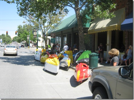
The bikes get lots of stares in the small towns along US-12.
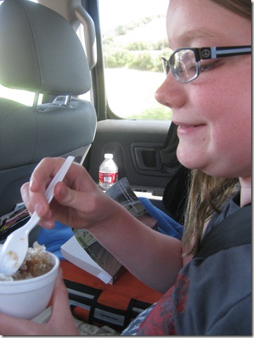
We found kids selling snow cones in Dayton, so the girls took them to go
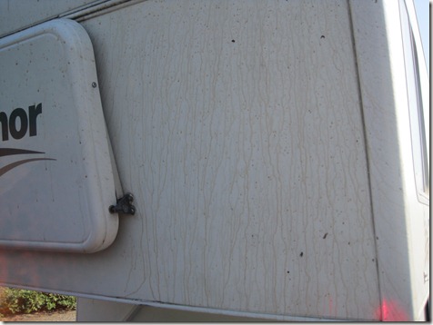
When Elizabeth says, “Mom, there’s no garbage for the slushies,” I should not joke, “Just dump it out the window” while the car is moving. This results in root beer slushie all over the camper. Makes the dead bugs extra sticky.
The road ahead
Mike called after 9 pm asking for an escort into camp. He was only 6 miles away, but he was riding with a partner who had few visible lights, and they were uncertain how to find the campground in the dark.
July 31: Lewiston, ID, to Lowell, ID
Distance = 101 miles
Stops = Orofino (ID) & Kooskia (ID)
Today the riders had an easier day with only 101 miles. Those miles, however, were all uphill. Temps reached 102 during some parts of the ride.
Getting an early start: Mike packs up and rides off just before 7 am. He wanted to leave by 6, but he came in late the night before.
Morning ride prep across the campground
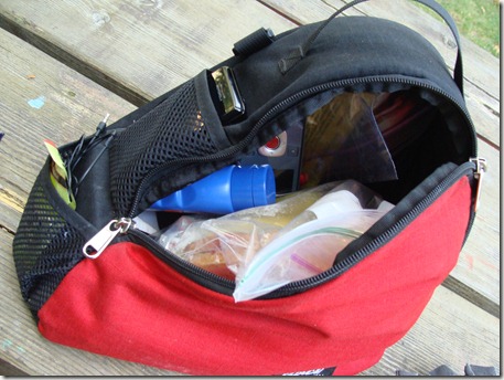
Mike carries two bags inside the velo. One carries gear (bike equipment, etc.), and the other carries personal stuff. We peeked into the personal bag (sunscreen – SPF 100 – lunch, a Flip camera, gel packs, radio ear buds, cell phone).
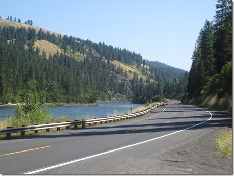
Much of today’s ride followed US-12 along the Clearwater River. The view was amazing as the road moved through the low mountains. The downside, however, was that the shoulder visible in this photo disappears in many sections of road.
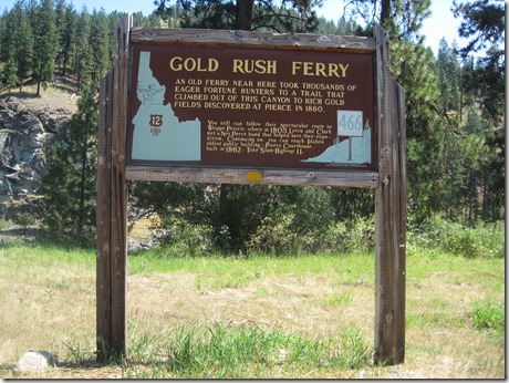
We amused ourselves by stopping along many of the Nez Perce and Lewis & Clark interpretive signs.
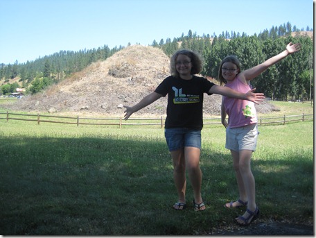
Our favorite stop of the day was at the Heart of the Monster. Elizabeth knew the story and told it as we walked down a short path to an intercom that then repeated what she had already told us. Essentially, tradition says Coyote facilitated the birth of the Nez Perce people by killing a monster and chopping its heart into many pieces and throwing them on a pile (seen on the mound in the background). It was really a good stop which can be easily missed if you don’t know what to expect.
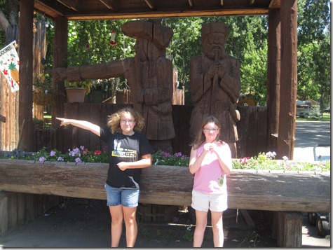
There were not a lot of towns along this section of 12, and the towns we did drive through were very small. The biggest restaurant near the Heart of the Monster is in a little RV park that also houses the local Kiwanis meetings.
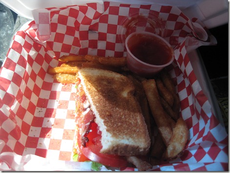
TakeOut BLT’s from the Sacajawea Cafe
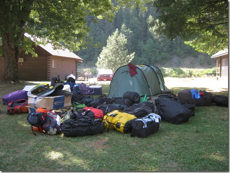
The first van arrives at camp and unloads gear (every rider was permitted one bag for the trip)
Uphill all day! Mike arrives in camp.
Three Rivers Campground & Resort: Not sure what qualifies this place as a “resort,” but the river area was quite pretty. We were told the nearest laundry is still 60 or more miles east, so riders washed the essentials in the sinks.
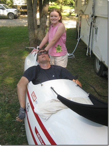
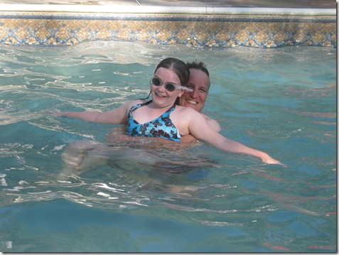
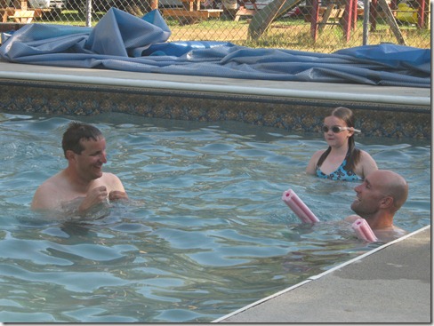
Mike cools down and tosses Julia in the pool
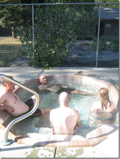
Julia joins the riders for a soak in the hot tub.
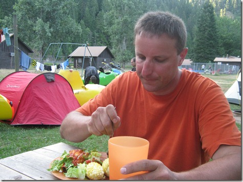
Corn on the cob & enchiladas
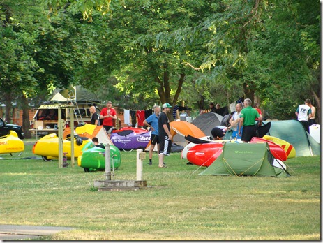
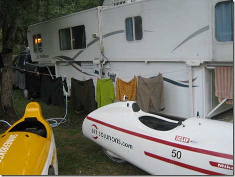
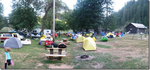
ROAM’s section of the campground
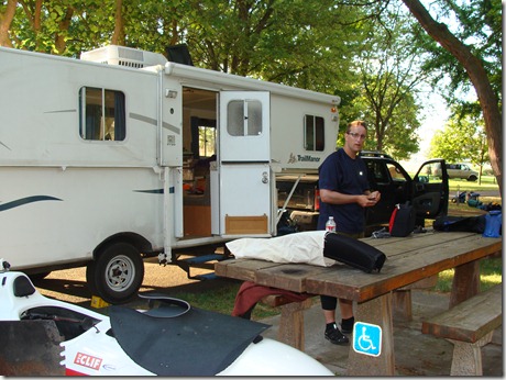
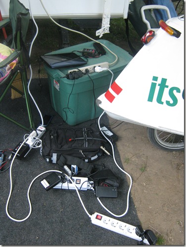
Our camper had the only working outlets, so it had to charge everyone’s phones, laptops, cameras, and bike batteries. We took this picture early on, but I should have taken another after dark when the power strips snaked all over the outdoor mat. I have no idea how that fuse held together.




Mike and family,
Sounds like the heat is really making the ride difficult. Mike looks really tired and sun burned. The fair is going well. It is in the upper 80’s to 90’s here. Keep eating those bananas for cramps. We all ate at the fair for Dad’s birthday. He said he doesn’t feel any older. Stay safe and enjoy the flat plains.
how did the ridgeline hold up on the trip?
Was the 4 wheel drive adequate?
Was it smooth and comfortable?
How did it tow? Was it smooth and safe with handling?
Great photos! What an adventure!
how did the ridgeline hold up on the trip?
Was the 4 wheel drive adequate?
Was it smooth and comfortable?
How did it tow? Was it secure
and safe with handling?
Great photos! What an adventure!
The ridgeline did great. We love that truck. Especially the extra space in the back.